Help
Route Overlay
## **Example Line of Route with Council Ward Overlay** Please see the example saved plotted line of route below which is visually overlaid by local Council Wards. Any of the other associated electoral and administrative boundaries on the map e.g. Constituency, Council, Parish etc can also be shown. These can be toggled on and off of the map using the icon on the top right hand corner of the map and ticking/unticking the boundary name of interest. 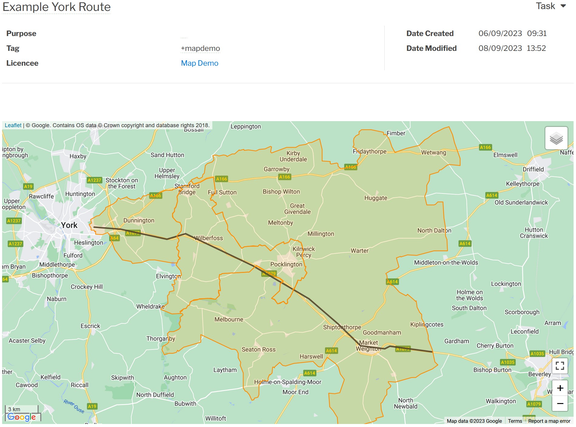 [Return to Line of Route Help](./Line of Route) [Main Help Menu](./index)
About
Privacy
Help
Contact Us